Read up on part one and part two before continuing!
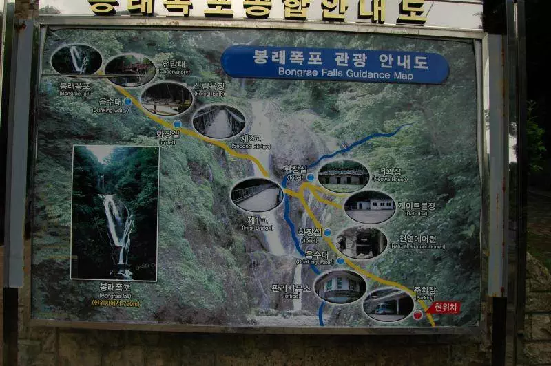
With a few hours left on the island, it was time to see the falls. My last stop for the trip was the Bongnae waterfall area (봉래폭포). Along the way, you’ll pass a curious natural phenomenon — a natural air conditioner (천연에어콘, or 풍혈), also called a wind cave:
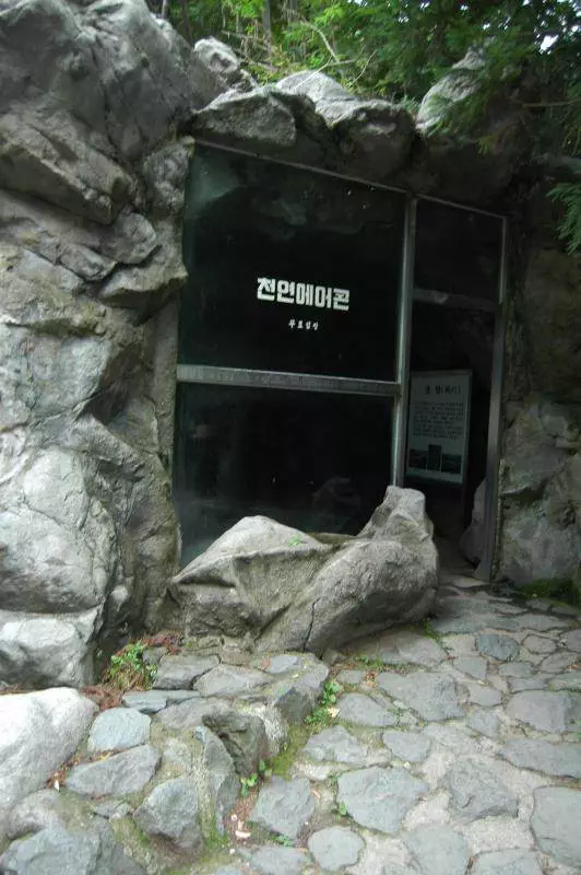
While there’s nothing inside to see but a dark, cool cave, it’s a VERY welcome 10 degree (Celsius) difference from outside to the inside. Don’t ask for the scientific explanation, because I don’t know.
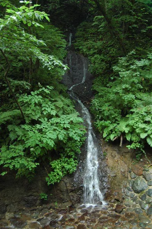
No, it’s just a side fall — you’ll see a few of these along the way. You’ll follow the fall of water from the main waterfall on the way down.
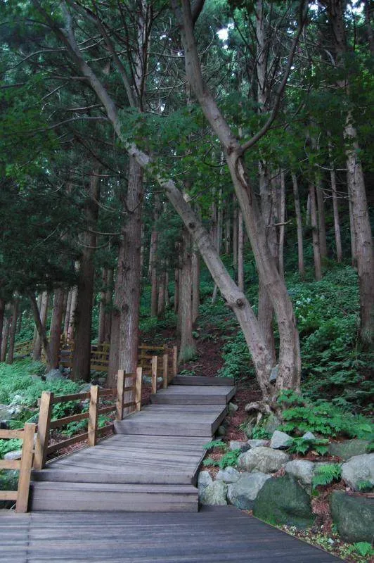
Part of the walkway up — most of the walkway features a rubber track from recycled tires to help with traction.
After a several hundred meter walk from the bus station, I was rewarded with a view that made it worth the hike — presenting Bongnae Waterfall (봉래폭포) :
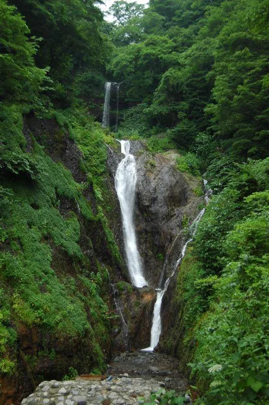
At 25 meters high, the water seemed to cascade from waaay up in Seonginbon Peak down to our second-story platform. With fences preventing getting any closer to the source, it seems we’re only meant to see it from afar.
With the main attraction now seen, there were a few other sites to see around the area:
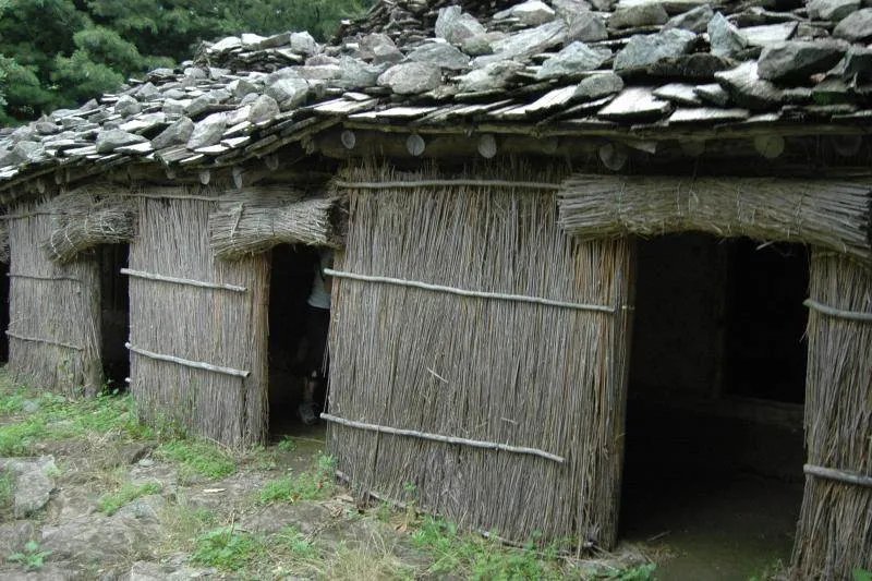
A 너와집, or log cabin, originally built around 1882. While this certainly appears to be a reproduction, it’s an interesting glimpse into where people may have lived back in the day. Inside is a wrap-around hallway, along with two rooms on either side of a fire pit (the kitchen?).
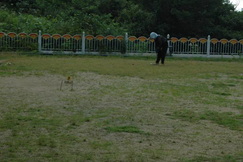
Now here’s something you don’t see every day — a croquet club. I watched for awhile, thought about trying to play with them, then decided against it when I realized I’d forgot the rules of the game.
With a short time left until the ferry back to the mainland, I decided to head back to the ferry, walking back down the mountain partway to see what there was on the way:
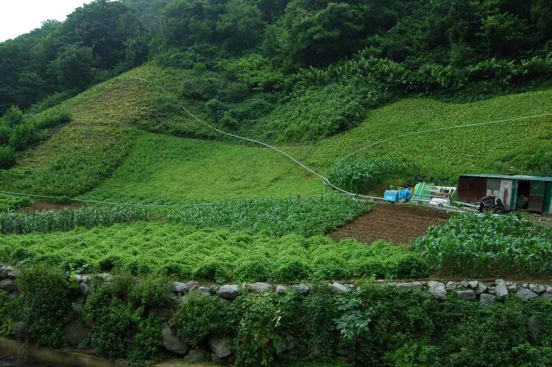
A farmer with a railway to help him up the mountain. That’s a steep hill to climb, but the ‘railway’ presumably helps him get up there.
Since the ferry was coming in about an hour, I decided to get back to the harbor — but before I lined up for the ferry, I just had to check out that other walking path along the side of the island.
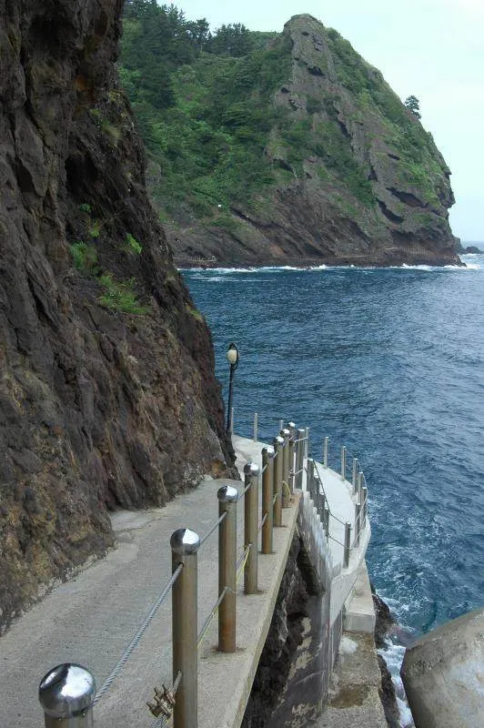
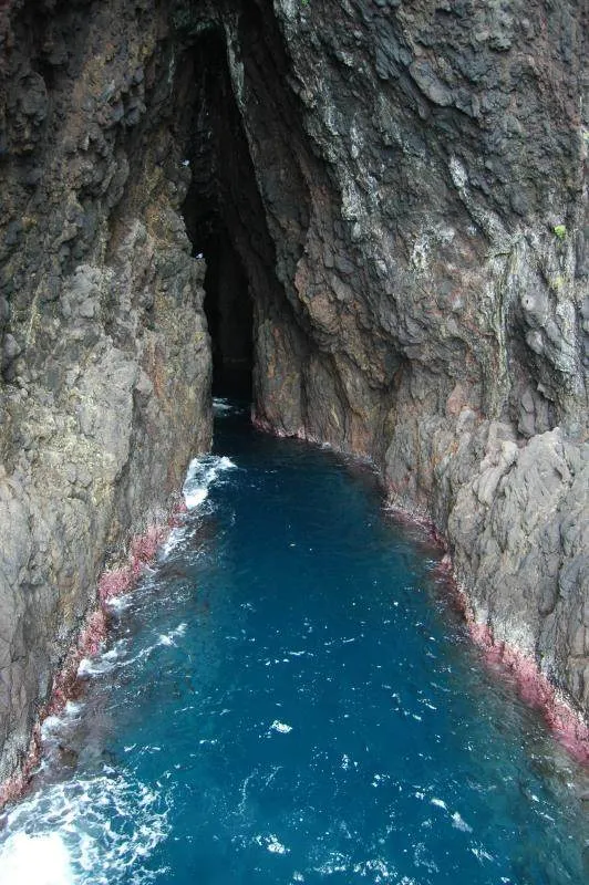
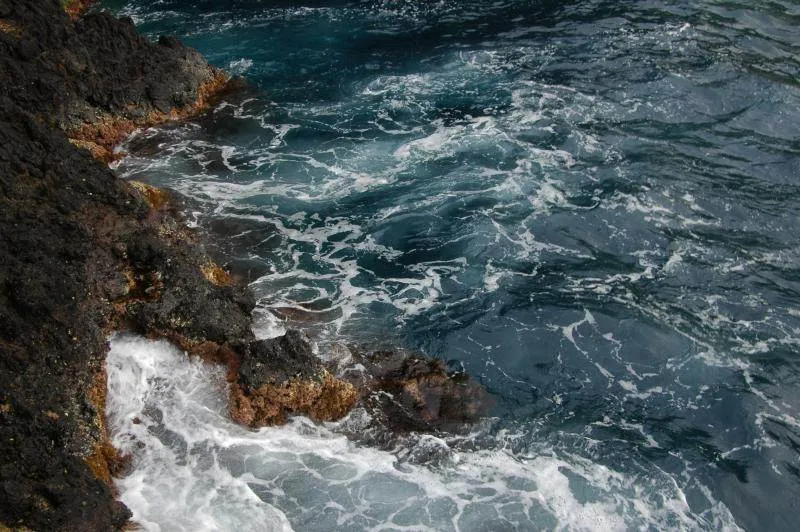
Yeah. Beautiful. The trail goes on for over 1,400 meters (about a mile) along the island’s perimeter.
At this point, I picked up my reserved ticket for the ferry back to the mainland and got on the ferry — a day and a half on the island is enough for seeing a fair amount of sites, although more time would reveal even more sites. If seeing an exotic part of Korea is on your agenda, Ulleungdo should definitely be part of it. There’s not enough English on the island to say it’s particularly tourist-friendly — practice your Korean speaking and reading skills — but if you’re ready to be one of the only foreigners around, this is the place to go.
Directions to Bongnae waterfall: Get to Ulleungdo. From the port, walk uphill towards town. Just past the tourist information center, there are two ways up — take the left one. Once at the bus stop, wait for the bus heading to Bongnae waterfall — it’ll likely be yellow and smaller than the other buses. WARNING: this is a BUMPY bus ride. Pay your 1,000 won to ride, then ride it for about 20 minutes to the end of the line — a parking lot that shares space with the ticket office. From the ticket office the hiking path is easy to follow up to the waterfall. Admission: 1,200 won.
Directions to Ulleungdo: Take a ferry from either Donghae city in Ganghwa-do (Mukho Port) or Pohang city in Gyeongsangbuk-do(?). Only one or two ferries make the 2 1/2 to 3 hour trip every day — reserve in advance at daea.com (Korean only) or enlist the help of a tourist service like 1330 to make the reservations. Before boarding, you may be asked for your passport — it’s a good idea to bring it with you.


